Gujarat Floods and Failing Weather Models | 🎙️ 5-Min Climate-Weather Report
In this episode, we unpack the recent extraordinary weather events that have been unfolding in the Indian state of Gujarat and beyond; leaving us wondering if this is becoming the new norm.
By Carbon Impacts / Jul 22, 2023

This skewed distribution of Monsoon rains corroborates the impact of climate change on the Monsoon in India
Gujarat was hit by very sudden and extreme rainfall this week. What exactly happened there and how uncommon this event truly was?
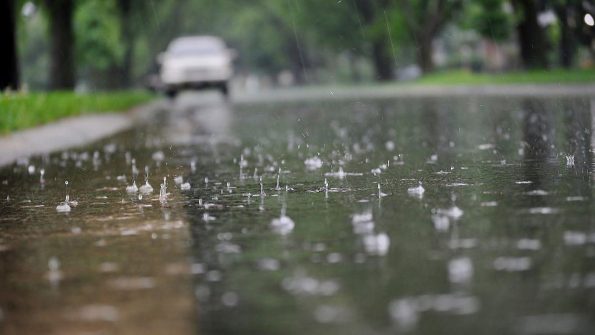
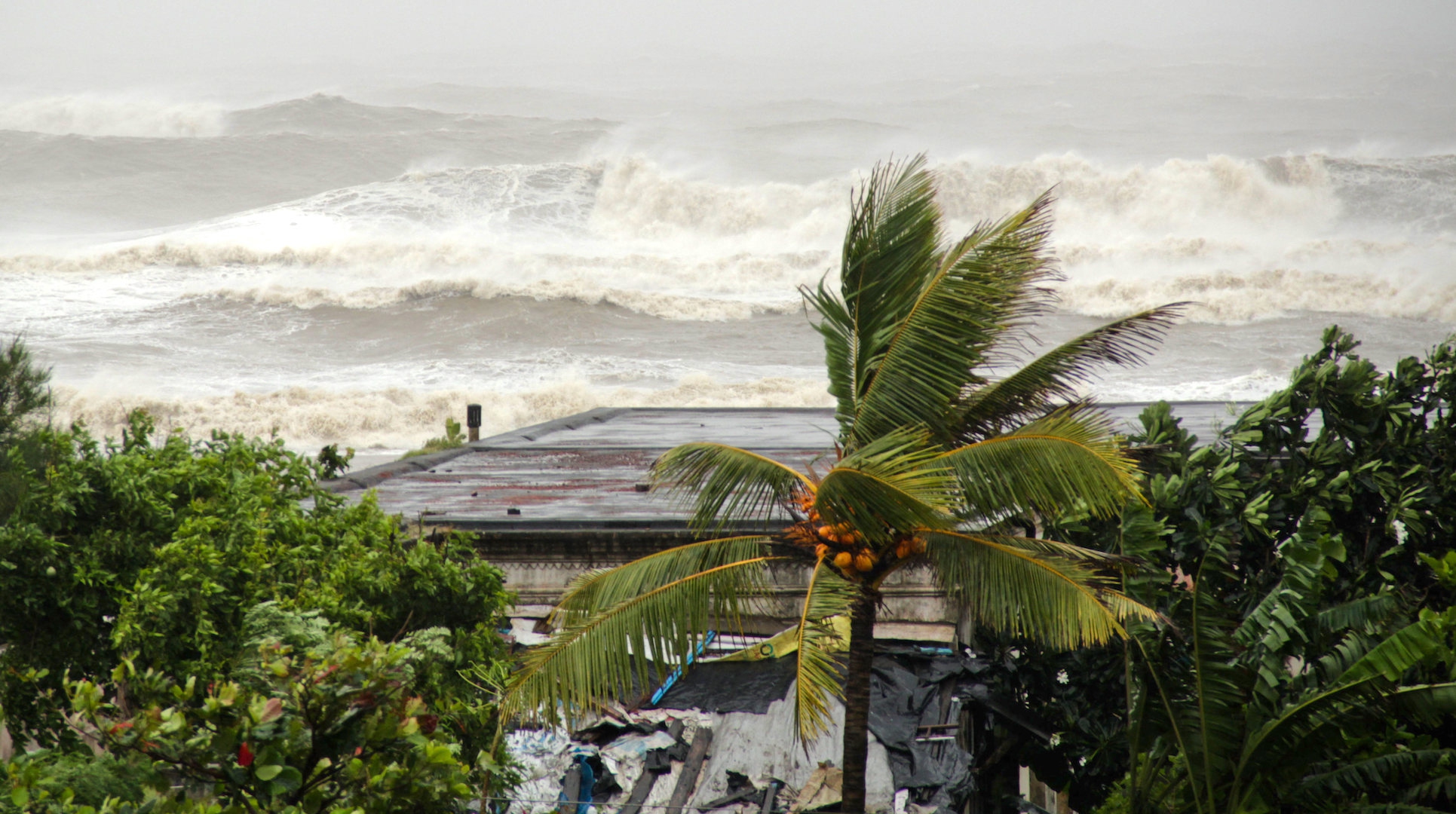
Another week, another place where extremely heavy Monsoon rains battered parts of South Gujarat. This triggered flash flooding across many cities like Surat, Veraval and Valsad. Veraval recorded 520 mm of rain, breaking the all-time high rainfall record for 24 hours since 1960. Similar conditions were seen in Coastal Maharashtra, wherein heavy rains triggered a landslide in Raigad district, claiming 16 lives.
And this comes after a series of heavy rainfall battered HP and UK last week, and the chaos in Delhi. So it’s natural to wonder if the monsoon season we are experiencing is becoming increasingly unusual?
According to meteorologists, such heavy to very heavy rains are common along the West Coast during the Monsoon, but such an increase in the rain intensity is unusual and concerning. Climate change led to rise in land and sea temperatures, increasing the moisture incursion manifold. With this, the chances of extreme rain incidences, like the one recorded in Veraval, rise tremendously.
Are these extreme events not predictable? Where are we lacking in terms of research and technology?
Well, that has been a work in progress. Such extreme weather events remain beyond the capability of weather models to predict in real-time. According to scientists, computers are not powerful enough to accurately predict the severity of these extremes. Forecasting is a daunting challenge that does not allow the region to prepare accordingly. Hence, climate scientists across the globe have been stressing increased modelling capabilities, which means sharper predictions and more real-time warnings.
So we’re towards the end of July now, what does the monsoon look like so far?
Given the extreme rainfall events during the last two weeks, countrywide Monsoon rains are presently surplus by 3%. While we might reach the expected Monsoon number, but when we dig deeper we can spot the abnormalities.
The spatial distribution of rainfall is quite uneven, even after back-to-back spells of heavy rainfall. Regions that typically receive the bulk of monsoon rainfall have received less rainfall. East & Northeast India is deficit by 21%, and South Peninsular is presently witnessing 17% less rainfall. States like Kerala, Karnataka, Bihar and Gangetic West Bengal have been recording less rain by a big margin of around 30%.
Meanwhile, regions like Northwest India, which do not record very heavy rainy spells, have recorded a series of torrential rains. So far in the season, Himachal Pradesh recorded 83% more rainfall, Rajasthan saw more rains by 94%, Delhi by 65%, and Haryana by 142%. This skewed distribution of Monsoon rains corroborates the impact of climate change on the Monsoon in India. Rising temperatures will worsen the situation if greenhouse emissions are not curtailed.
Extreme weather in India Gujarat floodsFloods in HimachalDelhi rains

